Hiking Trails


Home // Things to Do // Trails // Hiking
Hiking
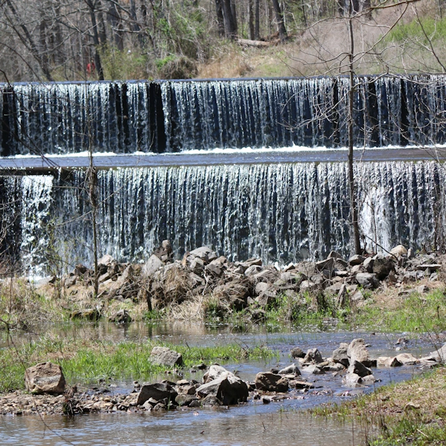
Hematite Lake Trail
- Junction of FS 176 & FS 134 (Energy Lake Road)
- Easy / 2.2 Miles
- Trail Map
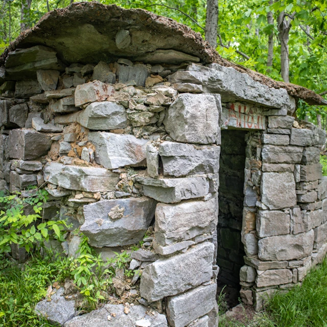
This 2.2-mile long trail circles the beautiful 80-acre Hematite Lake near Woodlands Nature Station. You’ll cross a spillway (Hematite Lake Dam) and travel along the shores of the lake, seeing artifacts of the iron ore industry, gigantic oak trees, and an awesome network of bridges and boardwalks toward the back of the trail. It’s an easy hike and is one of the most popular trails in LBL.
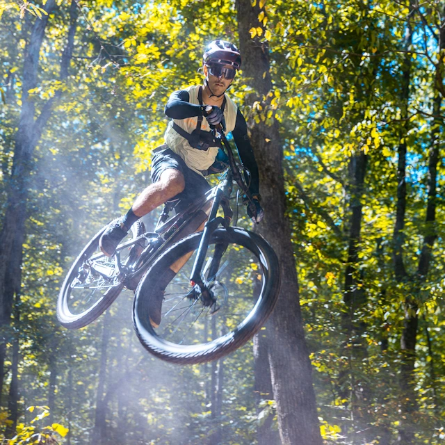
Hiking & Mountain Biking
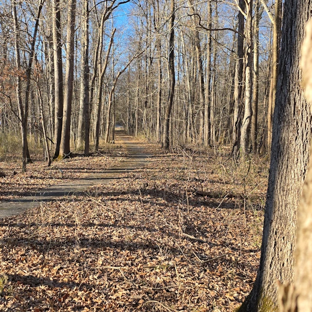
North-South Trail: North Section
The North/South Trail runs the full length of Land Between the Lakes and offers a mix of shoreline views, wooded ridges, and quiet lowland areas. In the northern sections, the trail follows single-track paths and includes a connector to the Woodlands Nature Station. Portions of the route run alongside Kentucky Lake, while intersections with Forest Service roads allow for loop options and multiple access points. The trail is open to hikers, backpackers, and mountain bikers.
Hiking
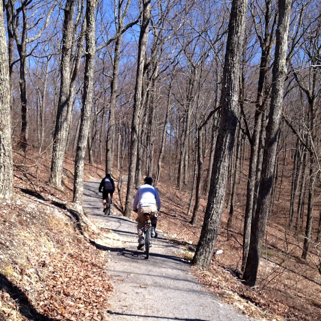
North-South Trail: South Section
The southern portion of the North/South Trail features a mix of old double-track roadbeds and sections of single-track trail. It travels through wooded ridges, wildlife clearings, and mature bottomland hardwood areas. Two backcountry shelters are located along this section and are available for overnight camping. Portions of the southern trail are shared by hikers, backpackers, and equestrians. The route also intersects with Forest Service roads, allowing for multiple access points and loop options for shorter hikes or multi-day trips.
Hiking
Long Creek Trail
- Trailhead Near Center Furnace
- Easy / Handicap Accessible / 0.3 Miles
- Trail Map
The Long Creek Trail is a flat, paved, and accessible trail that winds through a bottomland hardwood forest along a creek. It is part of the Nature Station Trail System and offers an easy way to experience the Woodlands Nature Watch Area. The surrounding landscape includes wetlands, prairie, lakeshore, and forest habitats, making the trail a popular spot for viewing wildlife. The trail is family-friendly, with clearly marked trailheads and parking, and also connects to the North/South Trail for those looking to extend their hike.
Hiking
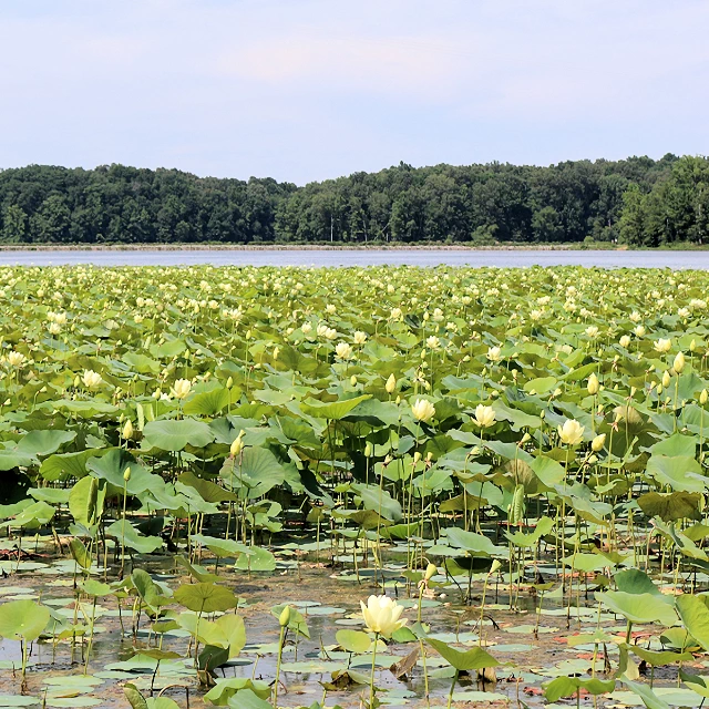
Honker Lake Trail
- FS Road 177, Near Woodlands Nature Station
- Easy to Moderate / 4.6 Miles
- Trail Map
Hiking & Mountain Biking
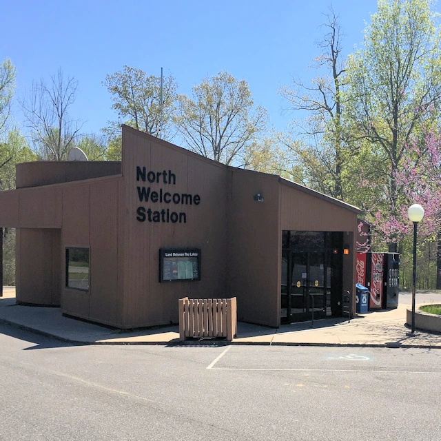
Canal Loop Trail
- Trailhead Near North Welcome Station / 1820 The Trace Road, Grand Rivers, KY
- Moderate to Difficult / 11 Miles
- Trail Map
Hiking & Biking
Central Hardwoods Trail
- Several Trailheads - See Map for Details
- Easy to Moderate / 11 miles
- Trail Map
Hiking & Biking
Fort Henry Trail System
- Several Trailheads - See Map for Details
- Easy to Moderate / Approx. 30 Miles
- Trail Map
The Fort Henry Trail System is located in the Tennessee portion of Land Between the Lakes and includes nearly 30 miles of trails through upland and bottomland forest. Visitors will pass through oak-hickory ridges, maple and ash bottoms, and native pine stands. Portions of the trail follow historic routes once used by Civil War troops traveling between Fort Henry and Fort Donelson. The system offers multiple options for hiking and biking, with opportunities to create short or long loops, connect to the North/South Trail, or explore quieter sections of the forest.
Hiking & Mountain Biking
Hillman Heritage Trail System
- Hillman Ferry Campground Gatehouse - Must Check In
- Easy to Moderate / Approx. 5.5 Miles
- Trail Map
Hiking & Mountain Biking
Energy Lake Trail
- Energy Lake Campground / 5501 Energy Lake Road,Cadiz, KY
- Easy / 4.6 Miles
- Trail Map
The Energy Lake Trail is a 4.6-mile loop with a figure-eight layout that allows hikers and bikers to explore shorter or longer sections of the trail. The route follows portions of Energy Lake and Lake Barkley, offering opportunities to see a variety of plants and wildlife along the way. Bald eagles, osprey, beavers, songbirds, and seasonal wildflowers are commonly spotted. Nearby Energy Lake, the dam, and the campground are popular areas for fishing, paddling, birdwatching, and camping. The trail is open to both hikers and mountain bikers.
Your guide to the "LBL" experience
Plan Your Perfect Getaway
Your guide to the "LBL" experience